
")
Sunol Regional Wilderness
Date: (Sun.) Feb. 7, 2016
Location: Sunol, CA
Event Director: ![]() - 408.878.5073
- 408.878.5073
Course Setters: Daniel Å ebo, Matej Sebo, Lubomir Sebo
Type: B; Full set of courses, from Beginner to Advanced; COOL event #2
We return to Sunol park (http://www.ebparks.org/parks/sunol) for our classic spring event. Seven courses are on the menu, with our usual beginner and intermediate courses as well as a full set of advanced courses to choose from.
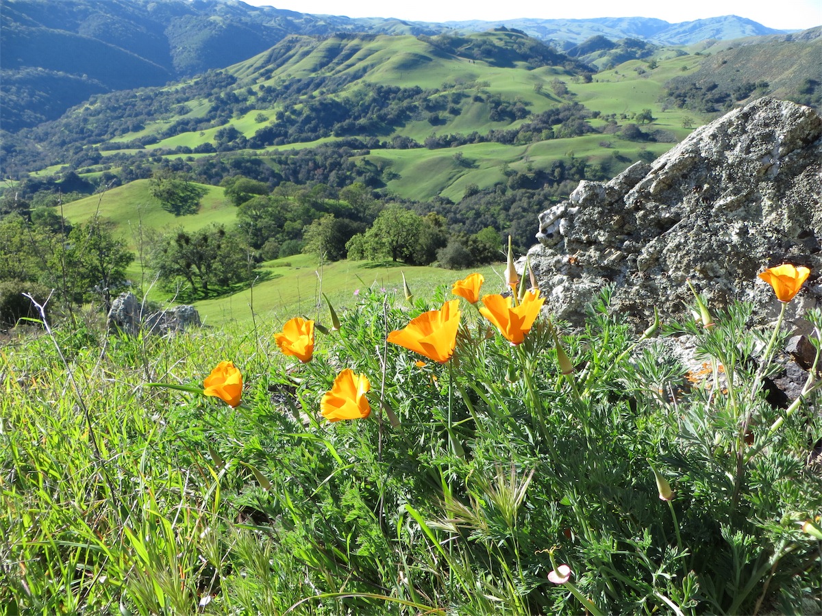
Larger image (JPG/655KB) (http://baoc.org/gallery/albums/2015-Miscellaneous/Sunol_Scenery_2015_1200w.jpg)
Schedule
- 9:00 AM – Registration opens
- 9:30 AM – Beginners' clinic instruction begins (free)
- 10:00 AM – Starts open
- 10:30 AM – Beginners' clinic instruction ends
- 11:59 AM – Registration closes
- 12:30 PM – Starts close
- 2:00 PM – Courses close, checkpoint control pick-up begins
Note that you can register and start on courses anytime between the open and close times above. Thus, for example, you do not need to be "punctual" at 9:00 (but you can if you want).
Beginners' clinics are short, repeating sessions that introduce the sport of orienteering, and provide enough instruction to be able to complete the beginner (White) course.
Everyone must check in at the Finish by 2:00 PM, and report to the E-punch tent, so we can have everyone accounted for and start checkpoint pick-up on time so those volunteers can get home.
After you finish, enjoy free snacks and refreshments, and socialize with other participants!
Costs
The following fees apply at this event.
- $3 for juniors on beginner's and advanced beginner's courses
- $8 for adults on beginner's and advanced beginner's courses
- $5 for juniors on intermediate and advanced courses
- $12 member price for intermediate and advanced courses
- $18 non-member price for intermediate and advanced courses
- $1 for a compass rental (optional)
- $5 for an electronic fingerstick rental (if you don't own one, you'll need one to complete the course)
- $15 for the lowest-cost individual one-year BAOC membership (optional)
For extra people on a team, add $7 per adult for intermediate and advanced courses or $5 per adult on beginners' courses (with lower prices for juniors).
More information about event pricing is available in the club FAQ.
Courses
Here are the course statistics:
                                          Water  Navigational  Physical
    Course    Distance   Climb  Controls  stops  Difficulty    Difficulty
    White      2.5 km    125 m     10       0    Very easy     Easy
    Yellow     3.6 km    150 m     13       0    Easy          Moderate
    Orange     4.5 km    130 m     14       2    Moderate      Moderate
    Brown      4.2 km     90 m     18       2    Difficult     Easy
    Green      5.7 km    210 m     27       2    Difficult     Difficult
    Red        7.0 km    375 m     21       2    Difficult     Very difficult
    Blue       7.8 km    470 m     24       3    Difficult     Grueling
The White course is for beginners and young children. It's a great warmup if you're trying orienteering for the first time. You get to see the map before the start and experience how everything works. This course is entirely on trails.
The Yellow course is considered an advanced beginner's course. It's suitable for somebody with some orienteering experience, or who is comfortable reading topographic maps. This course ventures off trails for short distances, but navigation is still relatively easy.
Note: Beginners should be aware that the distances shown are the cumulative straight-line distances between controls. Your actual distance will be longer. The climb numbers represent the amount of ascending that would be done on the "optimum route" (in the Course Setter's opinion), without regard for any descending.
The Orange course is an intermediate course for those experienced at reading topographical maps. It ventures fully off trails, although controls are always at distinct, easily recognizable features.
The Brown, Green, Red, and Blue courses are for more experienced participants. Those courses explore the forests, meadows, hilltops, and valleys for a fun, challenging navigation experience.
There will be two Start locations for this event:
- The Start for the White and Yellow courses is about 150 meters from the registration area (a short, 2-minute walk).
- The Start for the Orange, Brown, Green, Red, and Blue courses will be 1.7 km from the registration area, up a gradual hill (about 200 meters of climb). It will take about 20–35 minutes of walking to reach this location.
Be sure to read the Course Setters' Notes for more information.
What to Bring
For beginners' courses, comfortable outdoors attire and shoes are fine.
For intermediate and advanced courses, leg cover or gaiters are recommended, as well as shoes with some extra grip on the soles.
A compass is not necessary, but can be helpful—particularly on the intermediate and advanced courses. We have compasses available for a $1 rental fee.
We time the courses with the SPORTident system; a SPORTident finger stick can be rented for $5. (Use of the "E-punch" system is easy. You can learn how at the event, or read about it here.)
Request for Volunteers
Please consider volunteering to help at this event. Help will be especially needed during morning setup and control pickup at the end of the event. Contact the ![]() if you can help (you can even contact him at the event, but he would appreciate knowing in advance).
if you can help (you can even contact him at the event, but he would appreciate knowing in advance).
Driving directions
Sunol Regional Wilderness is in the East Bay. Take highway I-680 to the Calaveras Road exit near Sunol. Go south on Calaveras Road about six miles to Geary Road. Turn left onto Geary and continue a couple of miles to the park entrance. Pay the entrance fee (see below), and follow the O' signs to the Registration area. (Park only in designated parking areas. The rangers do give tickets.)
Be prepared to pay a park-usage fee of $5 per car (and $2 per dog) [2014 rates, subject to change]. Most likely a ranger will be on duty at the entrance kiosk to accept your payment, but if not, you may have to use a ticket machine that takes only $1, $5, and $10 bills.
There's a map here that shows the location of the park. (Click on the "pins" in the East Bay until you find the one for this event, and then drag the map [not the pin] to center the pin, and zoom in to see more detail.)